
Precision From Above
ExoDrone AG combines modern agricultural drone technology, GPS flight planning, and controlled aerial application to treat land efficiently and accurately. The drone is the tool — your result is the product.
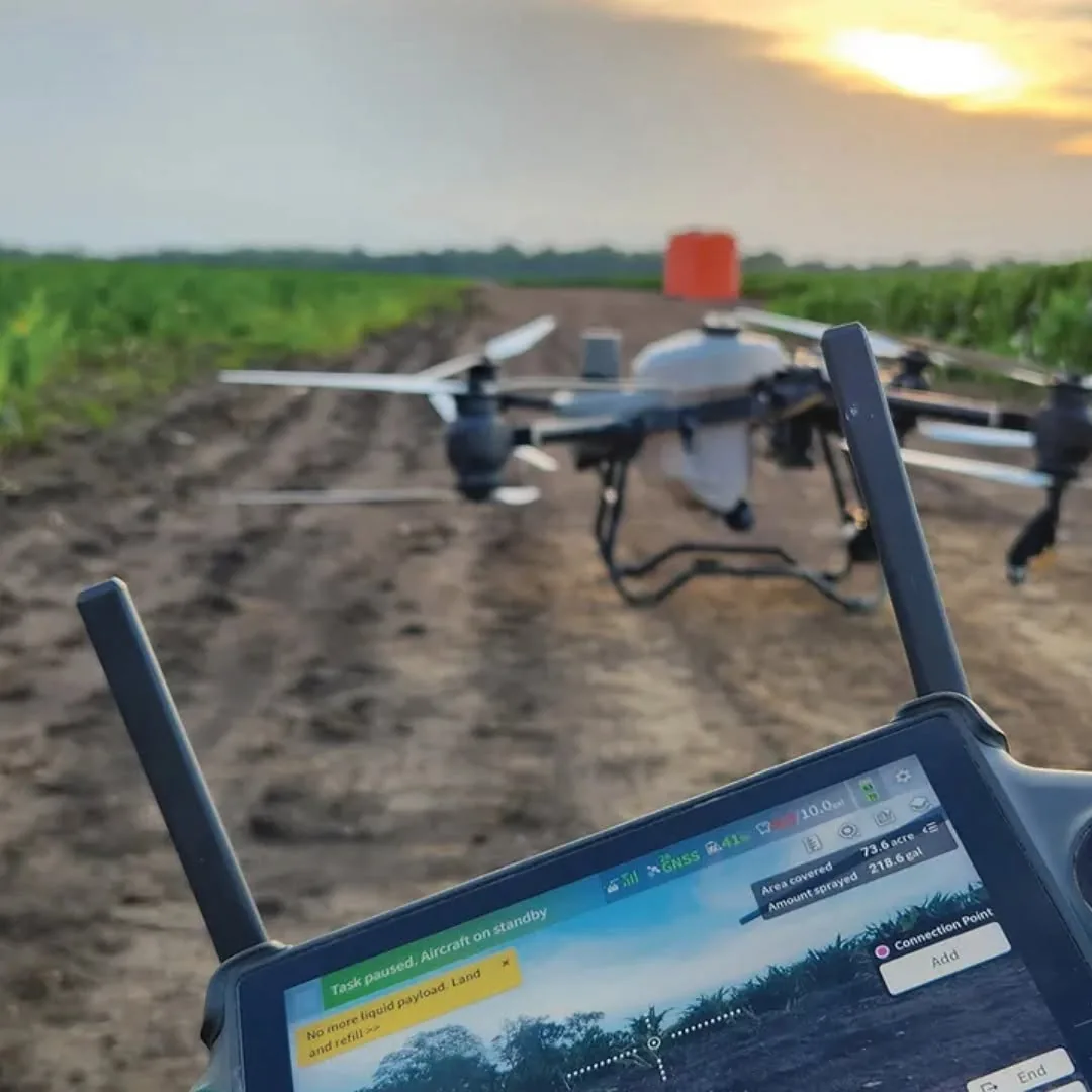
Engineered for Precision Application
Every ExoDrone AG sortie is flown with purpose-built agricultural drones, GPS guidance, and calibrated flow control — built to treat the right area, at the right rate, in the right conditions.
GPS-Guided Application
Pre-mapped, repeatable routes with precise positioning across every acre treated.
Controlled Swaths
Flow control calibrated to target, terrain, and product labeling for uniform coverage.
Terrain Following
Flight planning accounts for fence lines, structures, panels, and difficult-access terrain.
Variable Application Capabilities
Application rates adjusted to match the property and the treatment plan.
Field Mapping
Aerial mapping and imagery to plan treatment and identify problem areas.
Application Documentation
Every job is logged so you have a clear record of what was treated and when.
From Request to Application
A straightforward four-step process to get your property reviewed and treated.
Tell Us About Your Property
Customer provides location, acreage, and treatment objective.
Property & Application Review
We evaluate the treatment area, access, obstacles, and application requirements.
Custom Application Plan
We determine the appropriate aerial strategy for the property and intended treatment.
Precision Application
Our team performs the approved application and documents the job.
Discuss Your Property With Our Team
Tell us about your land, your target, and your goals. We'll design an aerial application program tailored to your property and operation.